The value and expertise behind Trimble's map-based solutions
Think about the last time you hopped in your car and relied on your phone's navigation to get you where you needed to go. Simple, right? Punch in the address and a clear route unfolds, accounting for traffic and maybe a detour or two. Now, imagine that vehicle isn't your personal car, but a ten-ton truck hauling valuable freight across state lines on a tight deadline. Suddenly, that seemingly straightforward "Point A to Point B" journey becomes a complex puzzle with several major challenges baked in.
For commercial drivers and the carrier businesses that depend on them, the limitations of consumer-grade mapping apps become glaringly obvious. These tools, designed for the everyday commuter, often fail to account for the myriad of physical restrictions, legal regulations and logistical challenges that define commercial transportation.
Routing a massive vehicle under a low bridge, navigating roads with strict weight limits, or inadvertently directing a hazmat carrier down a prohibited thoroughfare aren't just inconveniences – they lead to wasted time, hefty fines, compromised safety and ultimately, a significant impact on the bottom line.
The world of commercial trucking demands a level of map intelligence far beyond the capabilities of your average mobile app. Trimble’s routing and navigation solutions, including Trimble PC*Miler and Trimble CoPilot, deliver the map expertise and guidance fleets need to succeed.
Mapping smarter, not harder
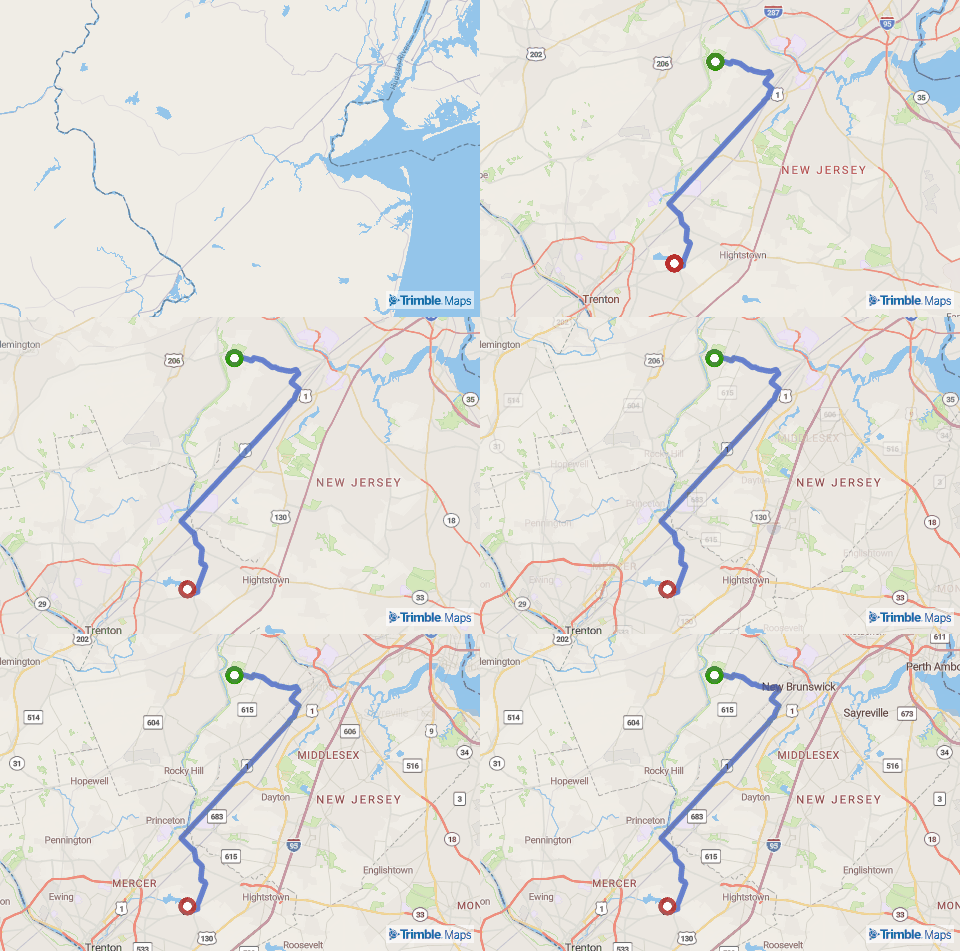
The solution to commercial vehicle routing challenges lies in purpose-built maps and navigation. Unlike their consumer counterparts, these sophisticated tools are engineered from the ground up with the unique demands of the trucking industry in mind. They go far beyond simply displaying roads; they incorporate a wealth of specialized data and functionalities that are critical for safe, efficient, and compliant operations.
At their core, Trimble’s commercial maps are rich with truck-specific road attributes and restrictions. This vital information helps drivers avoid potentially catastrophic collisions. Weight and load restrictions are meticulously integrated, preventing violations and safeguarding infrastructure. For carriers handling hazardous materials, designated routes and prohibited areas are clearly defined. Even seemingly minor details like left-hand and dangerous turn restrictions are factored in to enhance driver safety and prevent logistical nightmares.
Furthermore, correctly planning routes and calculating accurate mileage is paramount. Unlike consumer apps that might prioritize the shortest distance, commercial maps calculate routes based on truck-legal roads, providing precise mileage for contract rating, driver compensation and efficient load planning. They also consider legal and regulatory requirements, such as potential Hours of Service limitations, helping dispatchers and drivers plan routes that adhere to these crucial guidelines.
Behind this intricate web of data is a dedicated team of experts. At Trimble, our team works tirelessly to gather, verify and integrate this essential map information into our solutions.
"Making sure our commercial map data is both accurate and comprehensive is our highest priority,” says Tawni Marrs, Lead Data Scientist at Trimble. “It takes a deep understanding of what's what in the industry and a real focus on getting the details right. Ultimately, it's about making sure our users can always count on the information we provide."

The real-world impact of maps and why they matter
This dedication to precision is what sets commercial maps apart and provides the foundation for confident and efficient transportation. The advantages of utilizing commercial-grade maps extend far beyond simply avoiding wrong turns. They translate into tangible benefits that impact safety, efficiency and the success of transportation businesses.
Consider the critical aspect of safety. By factoring in vehicle dimensions and road restrictions, commercial navigation tools proactively guide drivers away from potentially hazardous roads and situations – low bridges, tight turns and weight-restricted roads that could lead to accidents or costly damage. This not only protects drivers and cargo but also enhances the safety of the surrounding communities. Read how enhanced maps and routing data can help avoid dangerous and costly bridge strikes.
Efficiency is another key area where commercial maps deliver significant value. Accurate, truck-legal routing ensures that drivers are taking the most optimal paths, therefore minimizing downtime, wasted miles and fuel consumption. This precision also leads to more reliable ETAs, improving communication with shippers and receivers.
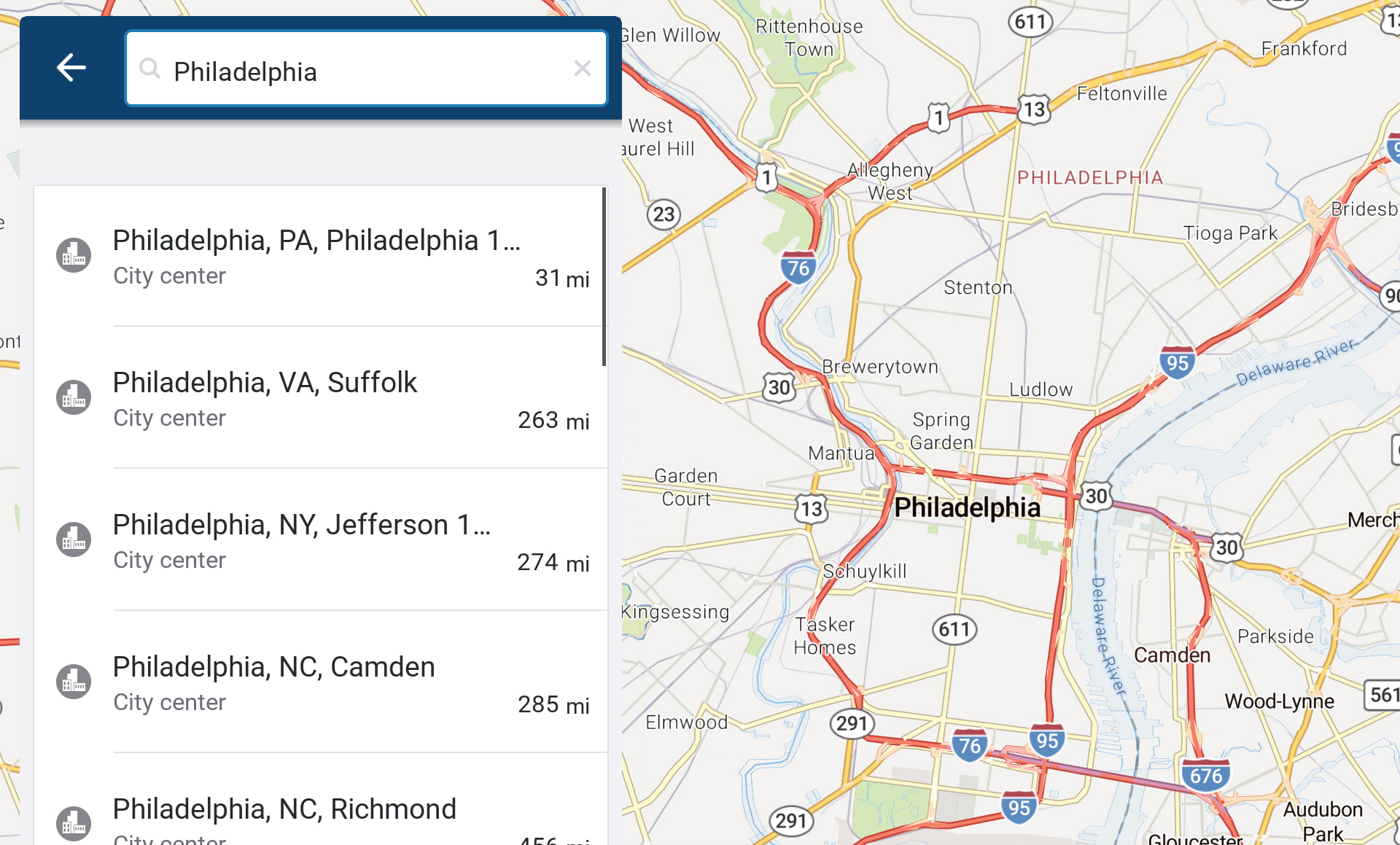
For instance, a tool like CoPilot – powered by the industry-standard PC*Miler routing – provides turn-by-turn GPS navigation specifically tailored to a vehicle's dimensions and road attributes, with real-time traffic updates, ensuring drivers stay on the most efficient and compliant routes. This level of detail significantly impacts a fleet's operational costs and overall productivity.
Furthermore, commercial maps play a crucial role in compliance. By incorporating legal and regulatory information, they help drivers and dispatchers adhere to Hours of Service rules and avoid truck-restricted roadways, mitigating the risk of costly fines and penalties.

Choosing the right partner for the long haul
In short, relying on mapping solutions designed for everyday drivers simply doesn't cut it for commercial fleets. The stakes are too high – safety, efficiency, compliance and profitability all hinge on having access to accurate, purpose-built commercial map data and navigation tools.
At Trimble, we've been pioneers in transportation technology for decades, building and refining commercial map data that the industry trusts. Our dedicated team is focused on the unique challenges of commercial trucking, committed to maintaining comprehensive and up-to-date data, and has a clear understanding of the regulatory landscape.
Our solutions provide fleets and drivers with the intelligence they need to navigate safely, efficiently, and with confidence. By choosing a partner like us, you're not just getting maps; you're gaining a strategic advantage that empowers your operations for the long haul.
Ready to experience the difference that purpose-built commercial maps can make? Contact us today to learn more about how CoPilot and PC*Miler can optimize your transportation business.
